Turning
Geospatial Data
Into Intelligence.

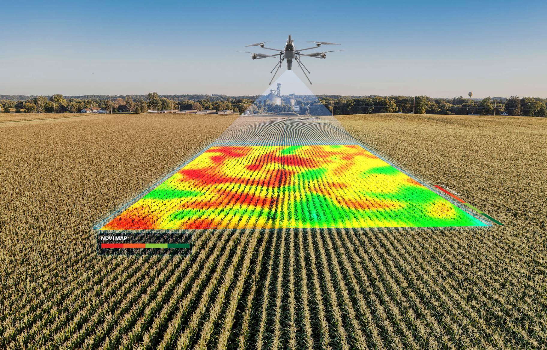
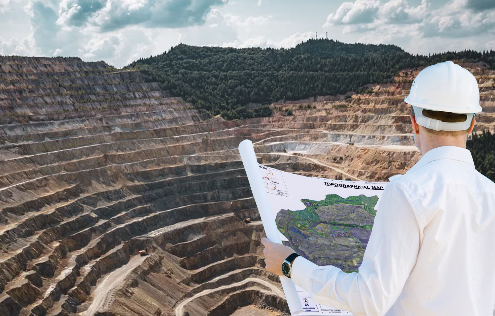
Geospatial intelligence, digital transformation and real-time operational systems- turning spatial data into decisions, not just maps.

400+ projects delivered50+ organisations served
About us

One Ecosystem. Endless Intelligence.

Trentar Geospatial is part of Trentar Group, a rapidly growing multi-sector enterprise launched by the team behind Dorf Ketal.

Trentar Geospatial combines aerial intelligence, satellite data, IoT systems, AI-driven analytics, digital twins, and enterprise GIS into one connected technology stack- helping organizations move from data collection to actionable intelligence.

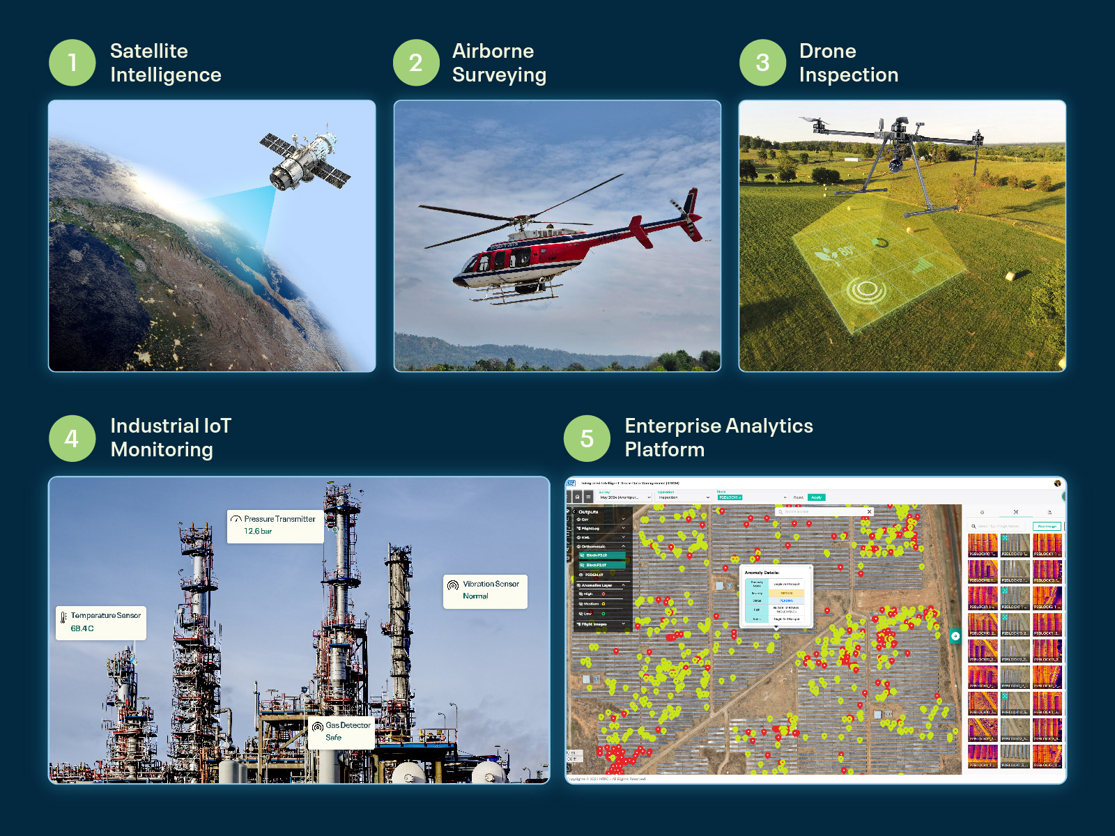
Five-layer geospatial intelligence process: satellite intelligence, airborne surveying, drone inspection, industrial IoT monitoring, and enterprise analytics platform
The ecosystem

Powered by a Strong Technology Ecosystem

Three specialist companies- operating independently, integrating seamlessly under one delivery engine.

Hardware foundation

RFLY Innovations

Purpose-built UAV platforms for surveying, inspection, mapping, and ISR applications, integrated with specialized sensors and payloads.

Strategic roleProvides the aerial capture foundation for the geospatial intelligence ecosystem.
rfly.net ↗
Data · Platform · AI-ML

GarudaUAV Soft Solutions

Developing AI-ML and geospatial analytics platforms that transform data into actionable intelligence.

Strategic roleTurns raw spatial data into actionable intelligence through proprietary AI-ML platforms.
garudauav.com ↗
GIS · Applications · Integration

Stesalit Systems

Location intelligence and IoT solutions delivering real-time insights across distributed infrastructure assets.

Strategic roleEnables data-driven operations through scalable applications and enterprise integration.
stesalitsystems.com ↗
BRINGING TOGETHER THE BEST OF GEOSPATIAL INNOVATION.
Aerial & Sensor CaptureGIS Visualization PlatformDigital Twin & Predictive AnalysisEnterprise Implementation
Operating independently · Integrating seamlessly.
Clientele

Trusted By Leading Organizations Worldwide

A representative selection across government, utilities, infrastructure, smart cities and industry.

TRUSTED BY 50+ ORGANISATIONS GLOBALLY

Solutions & capabilities

What We Enable

 Capabilities designed to transform geospatial data into measurable business outcomes across industries.

Geospatial Intelligence

Enterprise GIS · Spatial Data Infrastructure · Asset Intelligence

Digital Twin Solutions

Asset & infrastructure replicas · Simulation & modeling · Lifecycle monitoring

Data/Locational Analytics & Visualization

Command & Control Dashboards · Decision Support Systems · Predictive Analytics

Asset Tracking & IoT Infrastructure

Sensor Integration · Real-time Monitoring · Asset Tracking

System Integration

Enterprise Systems · Sensor & Data Integration · Interoperability

Enterprise Implementation

Deployment · Capacity Building · Managed Geospatial Services

Proprietary platforms

Built on Technology We Own End-to-End.

Trentar Geospatial is, at its core, a technology company- every layer of the stack runs on platforms engineered in-house.

TASKAerial workflow

Trentar Aerial Solution Kit (TASK) streamlines mission planning, data capture, automated processing, AI/ML analytics, and visualization to transform aerial data into actionable insights.

BlueHawkAI INSPECTION

Enterprise AI inspection and monitoring platform for powerlines, mining, infrastructure and industrial assets.

Sx ApplicationsEnvironmental intelligence

GIS-based environmental intelligence for forestry, utility and land-use planning.

Sectors

Intelligence Across Critical Sectors

Deep, repeatable expertise applied across the sectors where spatial intelligence changes outcomes.

Railways

Mobility Infrastructure · Asset Intelligence 

Highways

Corridor Intelligence · Road Infrastructure 

Utilities

Power · Oil & Gas · Telecom

Smart Cities & Urban Dev.

Planning · Governance

Water Resources

Dams & Irrigation

Environment & Climate Change

Sustainability & Resilience

Defense & Homeland Security

ISR & Surveillance

Natural Resources & Mining

Survey & Monitoring

Agriculture & Forestry

Precision Agriculture · Carbon Sequestration

Archaeology & Heritage

Scanning & Records

WHY US

Why Trentar Geospatial

Built to outpace traditional GIS and surveying providers.

  1. 01

    End-to-End Capability

    We own the full workflow- from capture to intelligence.

  2. 02

    Integrated Ecosystem

    Three specialist companies under one delivery engine.

  3. 03

    Proprietary Platforms

    Owned technology- TASK, BlueHawk and Sx Applications.

  4. 04

    Geospatial + IoT + AI

    A rare convergence of three technologies in one stack.

  5. 05

    Strong Domain Expertise

    Deep specialists across geospatial, engineering and IoT.

  6. 06

    Implementation-Focused

    We deliver deployed outcomes, not just reports.

  7. 07

    National-Scale Delivery

    Proven on projects spanning hundreds of thousands of km.

  8. 08

    Extensive Sector Experience

    Track record across utilities, cities, transport and more.

Experience

Engineered Through Experience

Outcomes delivered at national scale across utilities, cities, transport, water and energy.

0
Projects completed
0
Specialists & experts
0
Offices across the globe
1,60,000+ CKMPower Grid Intelligence & Asset Inspection
1,70,000+ KMHighway & Transportation Digital Infrastructure
1,00,000+ Sq KmUrban Geospatial Intelligence & Digital Mapping
4,00,000+ HaWater Resources & Irrigation Intelligence
7,000+ KMRailway Corridor Planning, DPR & Tunnel Engineering
5,000+ KMOil & Gas Pipeline Intelligence & Engineering Support
5000+ MWRenewable Energy Asset Intelligence
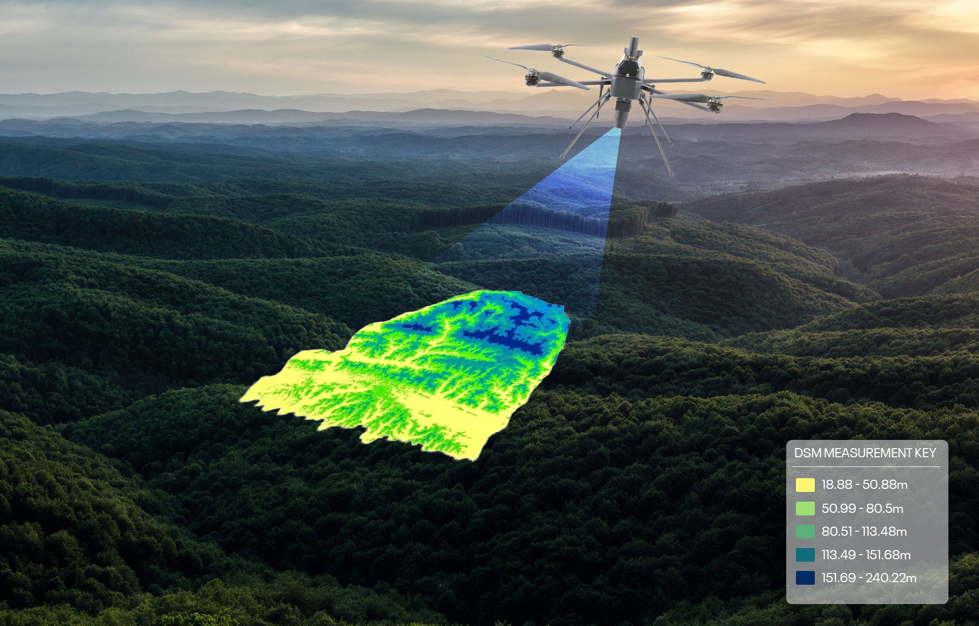
20,000+ Sq KmAerial & Remote Sensing Intelligence
11,000+Connected IoT Assets Deployed
2,500+ Sq KmMining Intelligence & Resource Mapping
5,000+ Sq KmForest Intelligence & Carbon Monitoring
200+Heritage Digital Twins & 3D Documentation
Global Reach

Our Global Footprint

Projects delivered across key international markets.

UKNetherlandsJordanAbu DhabiIndiaBangladeshCambodia
Building the Future of  Geospatial intelligence and Location Analytics.

We Empower Businesses to Make Better Decisions & Build a Smarter, More Connected World.

Contact

Let's Build Intelligent Systems Together.

Tell us about your project- our team responds within two working days.

PRESENCE Offices globally in India, USA, UK, AUS, & Singapore